
Desktop GIS and Mapping Software
OpenCities
Engineering-quality GIS และ Mapping
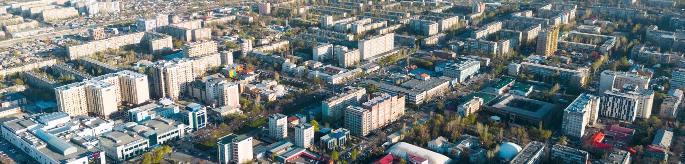
Building models และ documenting assets เป็นเรื่องง่ายยิ่งขึ้นด้วยความสามารถใหม่และประสิทธิภาพที่รวดเร็วยิ่งขึ้น ด้วยชุดโซลูชั่น OpenCities เป็นแพลตฟอร์มแผนที่ดิจิทัลที่ออกแบบมาสำหรับการสร้าง แก้ไข จัดการ และวิเคราะห์แพลตฟอร์มเชิงพื้นที่แบบ 2 มิติหรือ 3 มิติ
OpenCities ประกอบด้วย
1. OpenCities Map
ซอฟต์แวร์ด้านภูมิสารสนเทศ (Geospatial Software) เพื่อสร้าง ออกแบบ บริหารจัดการ วิเคราะห์ และแสดงข้อมูลทางภูมิศาสตร์
2. OpenCities Planner
ซอฟต์แวร์แบบ cloud-based สำหรับการวางแผนและการออกแบบเพื่อพัฒนาเมือง และการดำเนินงานด้านโครงสร้างพื้นฐาน
