


โปรแกรมออกแบบวิเคราะห์โครงสร้างสะพานทุกรูปแบบ
OpenRoads Designer CONNECT Edition
Construction-driven Roads Design software

OpenRoads Designer CONNECT Edition is to introduce a new comprehensive modeling environment to provide construction-driven engineering to help accelerate project delivery of road networks, unifying design, and construction processes from concept to completion.
OpenRoads Designer CONNECT Edition provides complete detailed design capabilities for surveying, drainage, subsurface utilities, and roadway design that supersedes all capabilities previously delivered through InRoads, GEOPAK, MX, and PowerCivil.
* OpenRoads Designer CONNECT Edition is the successor of InRoads.
![]()
Benefits:
OpenRoads Designer redefines best practices for generating design and construction deliverables and ensures the exchange of data throughout the project delivery and asset lifecycle. Using OpenRoads Designer, you can:
- Assemble context data rapidly from a variety of sources, such as traditional surveys, point clouds, 3D reality meshes, terrain data, images, and geospatial information to bring real-world settings to your project.
- Achieve exponential modeling performance gains with its model-centric production of design deliverables.
- Enable users to share project information across teams, locations, and disciplines with precision and security.
- Produce multi-discipline documentation for all work on assets across the project.
- Share realistic visualizations with the public and stakeholders to gather feedback, improve public engagements, and speed project approvals.
- Advance your BIM workflows in a digital twin authoring environment while supporting the creation of all your traditional and digital design deliverables.
Video
Capabilities
- Access manufactured components
- Automate drawing production
- Create horizontal and vertical alignments
- Create profiles and cross sections
- Design and analyze corridors
- Geospatially locate projects
- Design in context
- Model and analyze terrain
- Model, analyze, and design complete stormwater and sanitary sewer networks
- Model earthwork
- Support BIM workflows
- Perform design-time analysis
- Reuse common design layouts
- Visualize designs
Access manufactured components
Access the Component Center, a set of cloud services enabling faster access and more consistent use of manufactured components and organization or project-specific content and standards. Use the parametric components in specific applications and industries across multidiscipline project teams, while supporting knowledge sharing between personnel and enabling the persistence of component information across the asset lifecycle.
x
Automate drawing production
Automate the production of high-quality drawings, including multidiscipline documentation sets, which are consistent across the entire project. Get a live view of the project in sheet orientation. As the design changes, so will the sheets. Make edits directly in the design model and the application will update the sheets.
x
Create horizontal and vertical alignments
Use object-oriented coordinate geometry and alignment design capabilities that provide intelligent updating as you quickly create precision horizontal and vertical alignments. Use elevation profiles to display surface information as well as vertical alignments associated with horizontal alignments.
x
Create profiles and cross sections
Create profiles and cross sections from any point within the design. View updates on the fly as the design is modified with dynamic cross sections. You can see the ground changing to reflect design edits. Include surface features, corridor components, and notations such as construction limits or stationing.
x
Design and analyze corridors
Use immersive corridor modeling capabilities that support complex modeling and file federation demands required by BIM Level 2 and beyond. Streamline the complex development of every aspect of the roadway in a single, parametric presentation. You can move rapidly along a corridor at controlled intervals, viewing and dynamically designing all roadway components in concert.
x
Geospatially locate projects
ntegrate geospatial information from hundreds of supported coordinate systems into your designs. Access data from OGC Web Map Servers, use real-time GPS data, and create and reference geospatial PDFs.
x
Design in context
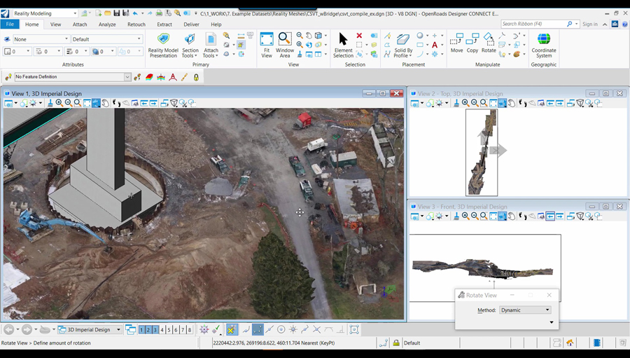
Clearly understand existing conditions and accelerate design modeling workflows with the ability to easily integrate traditional survey, imagery, point clouds, and 3D reality meshes into design and construction models. Integrate geospatial information to ensure that models are precisely geospatially located.
x
Model and analyze terrain
Create intelligent models containing not only terrain data but also roadway or site features. You can use features to visually distinguish structure, appearance, and symbology in the design.
x
Model, analyze, and design complete stormwater and sanitary sewer networks
Create, manipulate, design, and analyze stormwater and sewer networks that are fully integrated with your civil infrastructure project. You can manipulate networks in plan or profile views, displaying not only the drainage model but also other utilities.
x
Model earthwork
Create a 3D cut and fill earthworks model that can be utilized as a digital twin to precisely calculate, visualize, and summarize cut and fill analysis. OpenRoads Designer’s unique modeling capabilities help enhance earthwork and quantities workflows to maximize productivity and cost savings.
x
Support BIM workflows
Export digital deliverables, including IFC, to support industry BIM workflows. Use Asset Manager to include component attribution for a more efficient, data-rich BIM deliverable. Advance your BIM workflows in a digital twin authoring environment while supporting the creation of all traditional and digital design deliverables.
x
Perform design-time analysis
Ensure visibility into overall project performance with design-time analytics to achieve optimized design outcomes for a wide variety of analysis such as drainage, terrain, safety, grading, site visibility, and more.
x
Reuse common design layouts
Use civil cells to ensure standards are implemented, increase design quality, and eliminate the need to repeatedly design common configurations. If you can design it, a civil cell can handle it. There is no limit to the simplicity or complexity of a civil cell.
x
Visualize designs
Experience your designs in real time with constraint-driven templates, a context sensitive intuitive interface, and dynamic 3D modeling. Visualize the design at any time and on demand within the modeling workflow. No translations, software, or special workflow process is needed.
x
